is now available for your Mac with some important updates")
")


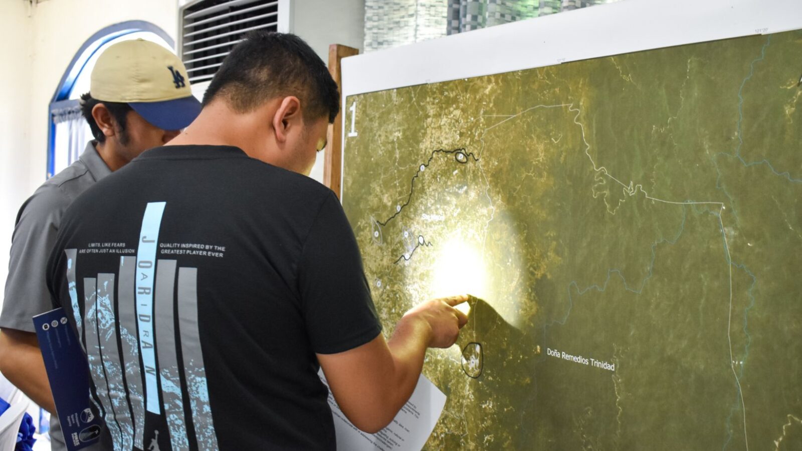

Participants identify concerns in their areas during the mapping workshop. Photo: PhilSA
The Philippine Space Agency (PhilSA) conducted a three-day PINAS Workshop and Training on Space Science and Technology Applications (SSTA) for Disaster Risk Reduction and Management (DRRM) from April 23 to 25, 2025 in Malolos City, Bulacan.
Representatives from the Bulacan Provincial Disaster Risk Reduction and Management Office (PDRRMO), local government units (LGUs), and provincial offices participated in the training, which focused on mobilizing spatial data to strengthen DRRM efforts. Participants gained practical knowledge on flood mapping and monitoring, drought assessment, ground movement monitoring and impact assessment using remote sensing and geographic information systems. Through a series of practical exercises, they produced radar-based and optical flood and drought maps.
To further support their initiatives, participating institutions received a geospatial data package containing land cover classification maps, satellite imagery, and agricultural drought outlook maps, among others. Participants also learned about open source and freely accessible satellite data, in particular the Sentinel-2 images of the copernicus programthat they can integrate into their programs.
In support of sustainable planning and decision-making, Mr. Roberts Marinas from the Department of Human Settlements and Urban Development (DHSUD) discussed the role of SSTA in adapting to climate change, emphasizing the development of the Climate and Disaster Risk Assessment (CDRA). The CDRA aims to assess the potential impacts of hazards on communities and their assets, providing crucial information for building resilience.
The training also included technical presentations on remote sensing applications for DRRM, drone operations and their practical uses, and the importance of integrating field data into spatial analysis. Participatory mapping activities were carried out to identify key environmental, agricultural and DRRM concerns in different areas of Bulacan.
This initiative reflects the growing collaboration between national agencies and local governments, highlighting the critical role of space technology in building more resilient, adaptive and data-driven communities.
Establish links to local DRRM initiatives
The PINAS Bulacan workshop and training was made possible through the collaboration between PhilSA and the Bulacan provincial government, particularly the support of the PDRRMO, which initiated the application for partnership and specialized training. This initiative highlights the critical importance of strengthening links between national agencies and local governments to advance the application of SSTA in DRRM and ultimately build more resilient and adaptable communities.
On behalf of Governor Daniel R. Fernando, Esq. Nikki Manuel Coronel, Chief of Staff, emphasized the critical role of science-based approaches in deepening the understanding of our environment and improving the delivery of public services, especially during disasters, to ensure the safety and well-being of communities.
Local DRRM Officer Manuel M. Lukban, Jr. outlined the province’s strategic objectives for integrating SSTA into local DRRM operations. He emphasized how leveraging satellite data and geospatial technologies can assist in hazard monitoring, improve risk assessments and strengthen the province’s capacity for disaster preparedness, response and recovery.
This training is the first of technical workshops and sector consultations aimed at fostering deeper engagement with potential end users and partners in Bulacan, further advancing the integration of spatial data utilization into local DRRM efforts.
The PINAS Project is an active network of institutions and individuals committed to promoting sustainability through the use of data and information obtained from space. It prioritizes the participation of local government units (LGUs) while encouraging collaboration with national government agencies (NGAs), research and development institutions (RDIs), civil society organizations (CSOs), private sector partners and the general public.
Launched in October 2022, PINAS is an active network of institutions and individuals working towards sustainability using spatial data. Workshops have been held in Iloilo City, Palawan, Ilocos Region, aklan, Mindoro, Davao, Zamboanga, Zebu, and Bataan. Interested people and organizations can join the PINAS Network here.—PhilSA/MF Press Release
For media inquiries, please contact publicrelations@philsa.gov.ph


#PhilSA #Strengthens #Bulacan #DRRM #Capabilities #Spatial #Data #Training #Workshop #FlipScience