Across Iranvast tracts of land are constantly collapsing. In some regions, the ground is sinking at a rate of up to 30 centimeters per year – the fastest recorded worldwide. This is not a sudden disaster like an earthquake or flood. It is a slow, silent and largely irreversible transformation, reshaping the country’s geography from below.
A recent study published in the Geophysical Research Magazine: Solid Earth shows that more 31,000 square kilometers of Iranian territory, an area roughly the size of Belgium, is experiencing land subsidence. The main culprit is the rapid and sustained depletion of underground aquifersespecially in agricultural regions where water is extracted much faster than it can be replenished.
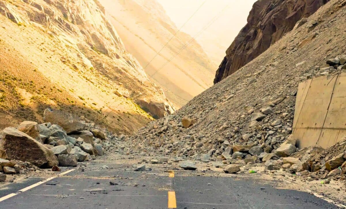
This collapse is not just a geological concern. It is causing serious structural damage to homes, roads and infrastructure. More seriously, it is a threat Iran’s long-term water security. Once these ancient aquifer systems are compressed, their ability to store water decreases. permanently lost — even if surface water supplies recover.
The warning signs are converging. According Iran’s official weather reportsPrecipitation during the hydrological year 2024-2025 is 45% below average. Combined with decades of unregulated groundwater extraction, much of the country is now literally collapsing.
Satellite view of a fading landscape
From 2014 to 2022, researchers tracked Iran’s terrain using Radar data from the European Space Agency’s Sentinel-1 satellites.. Directed by Jessica Payne At the University of Leeds, the team identified 106 main sinking zones.

The study highlights the extent to which Iran has exceeded internationally recognized danger thresholds. In many European countries, land subsidence 5 to 8 millimeters per year It is considered serious. In Iran, more than 100 locations already exceed 10 millimeters annuallyand some, including areas around Rafsanjan in the southeast kerman provincesinking more than 35 centimeters every year.
This region, an important center of pistachio cultivationIt’s a textbook case of how water stress and agriculture collide. Intensive irrigation from underground reserves has reduced the water table so dramatically that The Earth’s surface is collapsing in response..
Cities and infrastructure under pressure
While much of the damage is occurring on rural farmland, cities are not immune. In Karajhome to more than four million people, more than 23,000 residents They live in areas now classified as at high risk of subsidence. In major urban centers such as Tehran, Mashhad, Isfahanand shirazReports of cracked buildings, distorted roads and changing sewage systems are becoming more frequent.
satellite images and Interferometric Radar Analysis (InSAR) confirm that ground deformation is occurring beneath these cities, raising concerns about long-term structural integrity. Official data remains scarce, but a growing body of research is making the scope of the problem increasingly visible.

So far, government oversight has lagged behind the speed of the crisis. While Iran Ministry of Energy has recognized the challenges in general terms, the application of well drilling restrictions and groundwater extraction policies have been inconsistent.
Aquifers collapse under pressure
The sinking mechanics make it particularly unforgiving. Iran’s aquifers are largely composed of fine alluvial sediments – sand, silt and clay. These materials form porous networks that store groundwater like a sponge. But when water is removed faster than it is naturally replenished, the pressure holding those pores is lost.
As the sediment compacts, the empty spaces close forever. The result is not only a shallow subsidence, but also a Permanent reduction in the storage capacity of the aquifer.. Even if groundwater levels rise again, compacted areas cannot be expanded again to maintain the same volume.
This process, known as inelastic compactionis irreversible. And since much of Iran’s drinking and irrigation water depends on these underground sources (as much as 60%, according UNESCO – the long-term consequences are profound.
Iran’s current trajectory is the result of decades of agricultural expansion, population growth and emergency water policies, particularly during years of drought and under international sanctions. Tens of thousands of unlicensed wells Mines have been drilled across the country, often without monitoring or environmental assessment.
Not only the Iran crisis
Iran is one of the most extreme examples, but it is not alone. Similar cases of land subsidence are being recorded in California Central Valley, Mexico City, northern chinaand The Po basin in Italy. In 2021, land subsidence contributed to a Subway line collapse in Mexico Citykilling 26 people.
He US Geological Survey estimates that more than 17,000 square miles of American land are affected by subsidence caused primarily by groundwater extraction. And in Asia and Latin America, similar patterns are accelerating as drought, climate variability, and urban water demands converge.
What distinguishes Iran is the scale, speedand depth of the transformation. While mitigation is possible (through better irrigation practices, artificial recharge, and regulation), nothing can restore a collapsed aquifer. The damage is geologically locked in.
#country #world #sinking #faster #started